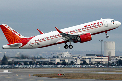
The Netaji Subhash Chandra Bose International Airport is just 17 kms away from the iLEAD Campus. Both buses and cabs can be availed to reach the iLEAD campus.

Talk to our counsellors, select the best suited course for you and build your career
📞 +91 9163122222 ✉ [email protected]
Driving Directions
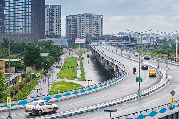
iLEAD is located at a very central location in Kolkata. It is situated at Topsia, just 1.4 km driving distance from Science City towards Park Circus, Kolkata.
Driving Directions
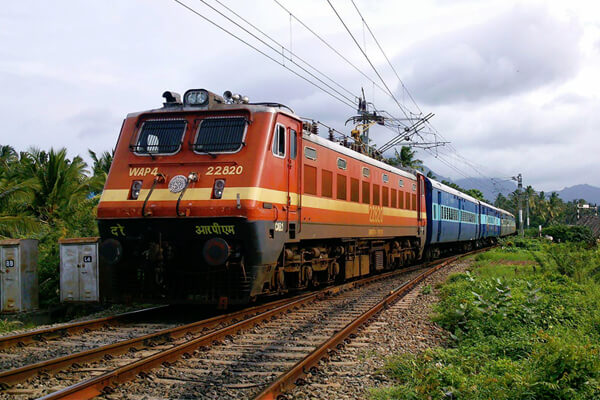
The nearest railway station to iLEAD is the Sealdah Railway Station. iLEAD is just 4.1 kms away from the railway station that is well connected with the rest of West Bengal and India. It takes only 18 minutes by road to travel from Sealdah Railways Station to Topsia at iLEAD. Sealdah is well connected with Topsia through both buses and autos.
Driving Directions
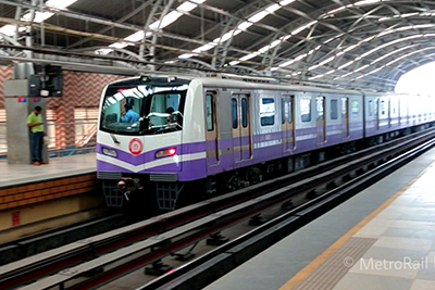
The nearest metro station is the Sealdah Metro Station that connects the East–West Metro corridor. It is only 4.1 kms away from the campus. Another metro station near Science City at a distance is less than 2 kms is under construction and is due to start its operations soon.
Driving Directions